
Loading SaaS profile...
Loading SaaS profile...
AI-powered Geographic Information System for modern teams.
Build and edit comprehensive spatial maps and dashboards entirely through conversational natural language prompts. Automate complex multi-step geospatial workflows, site selections, and periodic status reports without writing code. Share unified live maps across distinct organizational departments to eliminate file exports and version silos. Analyze multi-layered asset performance, environmental impact data, and pipeline variables with built-in AI reasoning.
Replaces legacy desktop GIS complexity with an intuitive conversational interface accessible to technical and non-technical team members. Automates scheduled spatial analyses and alerts natively without requiring manual script maintenance or dedicated server infrastructure. Supports real-time cross-departmental co-authoring, ensuring single-source-of-truth accuracy for operational maps. Provides domain-specific project templates for rapid deployment across solar pipelines, asset portfolios, and urban maintenance.
Category: AI & Automation
Team Size: 11-25
Visit Website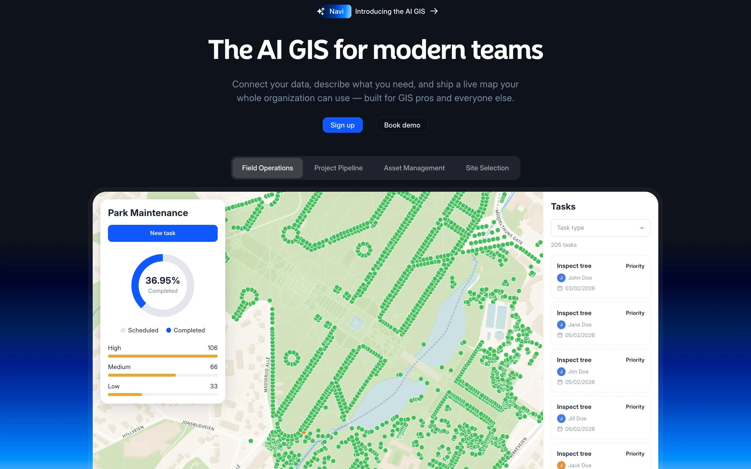
Atlas is an advanced AI-driven Geographic Information System (GIS) designed to help modern teams build and manage spatial data through natural language conversations. Instead of complex desktop software installations or steep learning curves, users can prompt the system to generate interactive maps, dashboards, and analytical pipelines. It bridges land operations, site selection, and asset tracking into a single collaborative platform. The tool enables cross-functional departments to view, co-author, and update live spatial data effortlessly.
Atlas was developed to solve the friction and steep barriers to entry associated with legacy geographic information software. By combining spatial intelligence with conversational generative AI, the founders built a platform that democratizes map creation and real-time geospatial analysis for entire organizations.