
Loading SaaS profile...
Loading SaaS profile...
Streamline utility pole data collection, engineering design, and make-ready workflows in a real-time cloud database.
Captures GPS-accurate pole locations and measurable photo data directly from ground level Executes built-in pole loading analysis and engineering designs inside a single ecosystem Flags NESC clearance violations automatically to maintain strict regulatory compliance Manages multi-party joint-use applications and tracks critical FCC shot clock deadlines Generates automated legacy downloads, web maps, and spreadsheet deliverables at the click of a button
Ground-Level Safety: Field crews collect comprehensive, defensive photo data from the ground without entering the dangerous power space. Single Source of Truth: A real-time cloud database allows internal designers, external contractors, and utilities to view identical project records simultaneously. Automated Verification: Built-in violation detection and engineering rule engines eliminate time-consuming rework phases. FCC Compliance Tracking: Integrated deadline countdowns help broadband installers confidently dodge regulatory penalties and administrative blockages.
Category: Business & Operations
Team Size: 11-25
Visit Website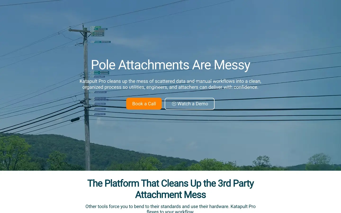
Katapult Pro is an enterprise-grade utility engineering and workflow management platform built specifically for telecom attachers, electric utilities, and broadband deployment teams. The software unifies mobile-first, ground-level photo data collection with robust engineering tools like automated NESC violation flagging and built-in pole loading analysis, allowing engineering teams to drastically accelerate broadband rollouts while ensuring full regulatory compliance.
Katapult Pro was engineered by Katapult Engineering to eliminate the highly fragmented, manual workflows traditionally slowing down the distribution utility sector. Realizing that field teams were utilizing fragmented maps, unsafe collection methodologies, and disconnected engineering calculators, they constructed a unified web platform that translates real-world field images into high-precision, defensible spatial datasets.