
Loading SaaS profile...
Loading SaaS profile...
Geospatial resource platform for solar project lifecycle management.
Maps utility-scale solar construction progress in real-time using GIS-based workfronts and automated drone imagery processing. Connects baseline project schedules with field execution data to detect critical path risks before milestones are impacted. Provides conversational site intelligence via NaaviX AI, allowing teams to query project status, history, and records naturally. Ensures traceability of physical solar components by linking barcode scans to interactive digital twins and site coordinates. Aggregates field execution data into executive dashboards, replacing manual status reports and fragmented spreadsheets.
Centralizes fragmented solar data into a single, cohesive source of truth, eliminating manual data stitching and reconciliation. Bridges the critical gap between theoretical design models and actual field performance for improved project ROI. AI-integrated workflows enable proactive project control, transforming reactive data collection into actionable insights for leadership. Geospatial-first design accounts for the scale of multi-thousand-acre solar assets, which generic construction software cannot support.
Category: Business & Operations
Team Size: 26-100
Visit Website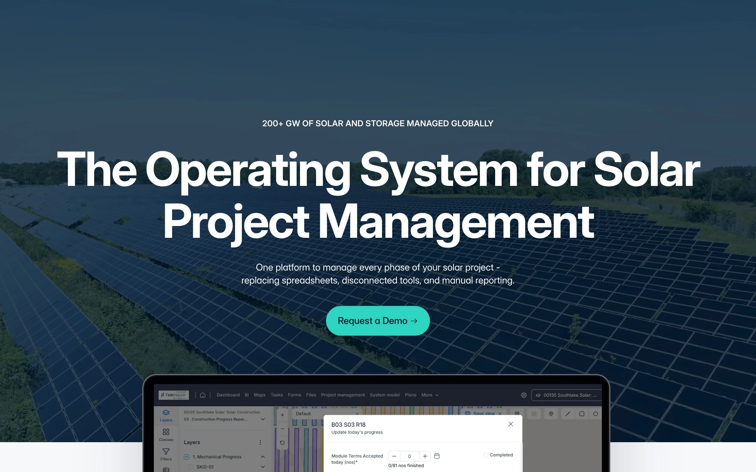
SenseHawk provides a unified, AI-powered software platform that manages the end-to-end lifecycle of utility-scale solar projects. By aggregating geospatial data, drone imagery, and field workflows, it enables teams to bridge the gap between design intent and real-world construction. The platform optimizes project planning, construction tracking, and asset operations, helping organizations reduce costs, identify risks, and improve efficiency through automated, data-driven insights.
Founded in 2016 by Rohit Ramesh, Swarup Mavanoor, and Rahul Sankhe, SenseHawk was created to solve the massive operational inefficiencies in the solar energy sector. Based in California, the founders developed a software-based management solution to help solar projects move faster from planning to production. In 2022, Reliance Industries acquired a 79.4% majority stake in the company for $32 million.